

GIS Day 2026 at Utah State University
November 16–18, 2026 | Utah State University
Save the Dates
Three days of maps, technology, creativity, and geospatial discovery.
All are welcome!
GIS Day 2026 brings together students, faculty, researchers, industry professionals, and the community to celebrate the many ways Geographic Information Systems (GIS) and geospatial science help us understand our world.
Explore historic maps, discover what USU researchers are working on, create map-inspired art, watch drone races, and connect with geospatial professionals. Whether you’re a GIS expert, a student exploring career options, or simply curious about maps, there’s something for you!
Additional details will be announced as plans are finalized.
Schedule
12:00 PM
Lunch Presentation: Geospatial Industry Spotlight
NR 102
Hear from one of USU's Geospatial Industry Partners about geospatial technology and its applications in industry.
2:00 PM
Faculty Lightning Talks
LIB 101
Get to know the geospatial work happening across USU! Faculty and researchers will each share a quick snapshot of their work in a two-minute, one-slide talk. It’s a fast-paced way to discover new projects, spark ideas, and find connections across disciplines.
3:30 PM
Archives After Dark
Merrill-Cazier Library
Step into the past with a special tour of the Merrill-Cazier Library archives, featuring historic maps and other fascinating archival materials.
All Day
Maps as Art
NR Atrium
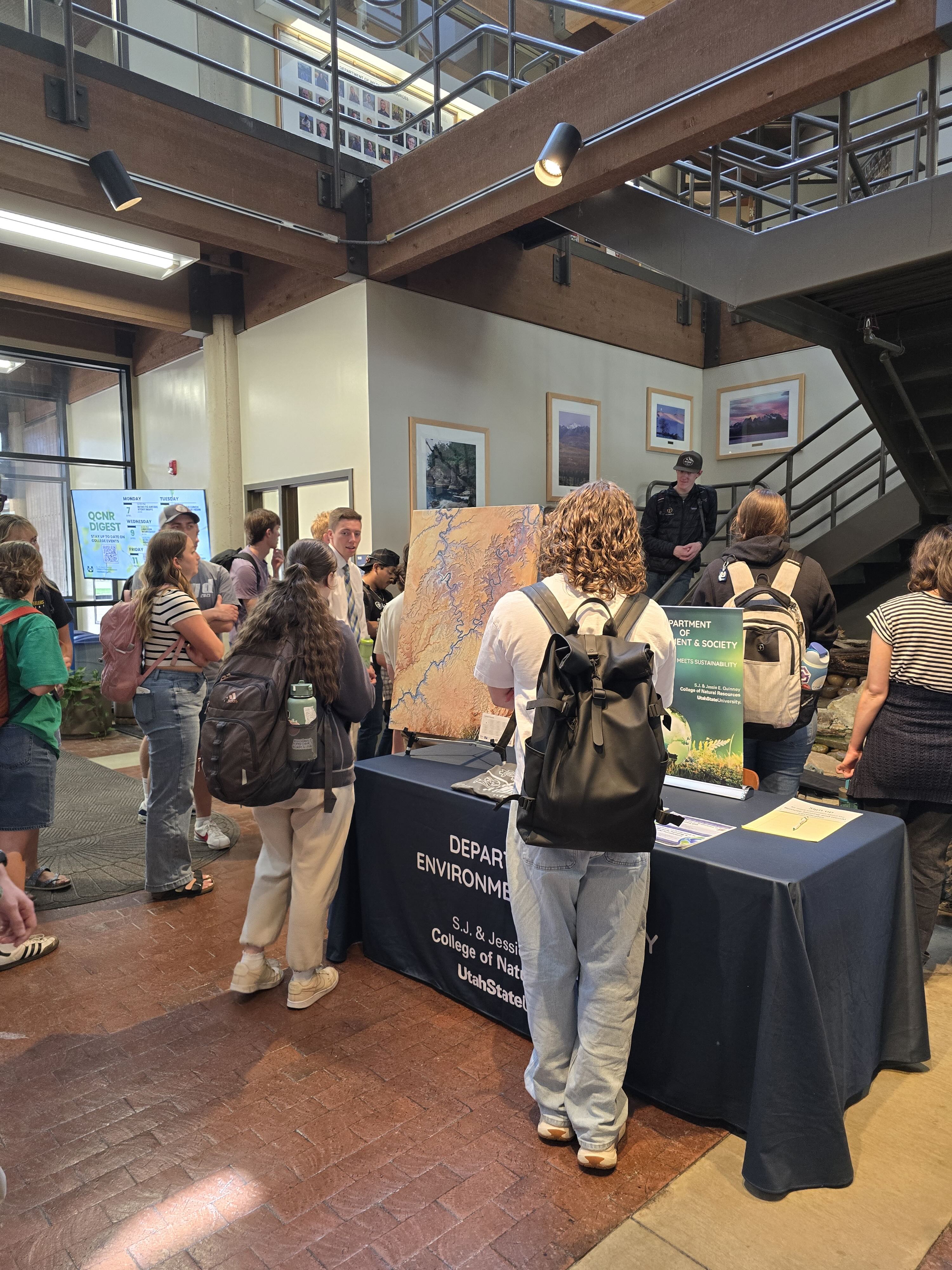
Maps are more than tools for navigation; they can also be works of art! Explore a display of aesthetic and artistic maps created by students, faculty, staff, and others in the USU community. Interested in contributing? We welcome creative, beautiful, unusual, and thought-provoking maps of all kinds.
12:00 PM
Lunch Presentation: Cartography Spotlight
NR 102
Enjoy a lunchtime presentation featuring a guest cartographer. Learn about the craft and science of mapmaking and how cartographers turn geographic information into meaningful visual stories.
1:00–4:00 PM
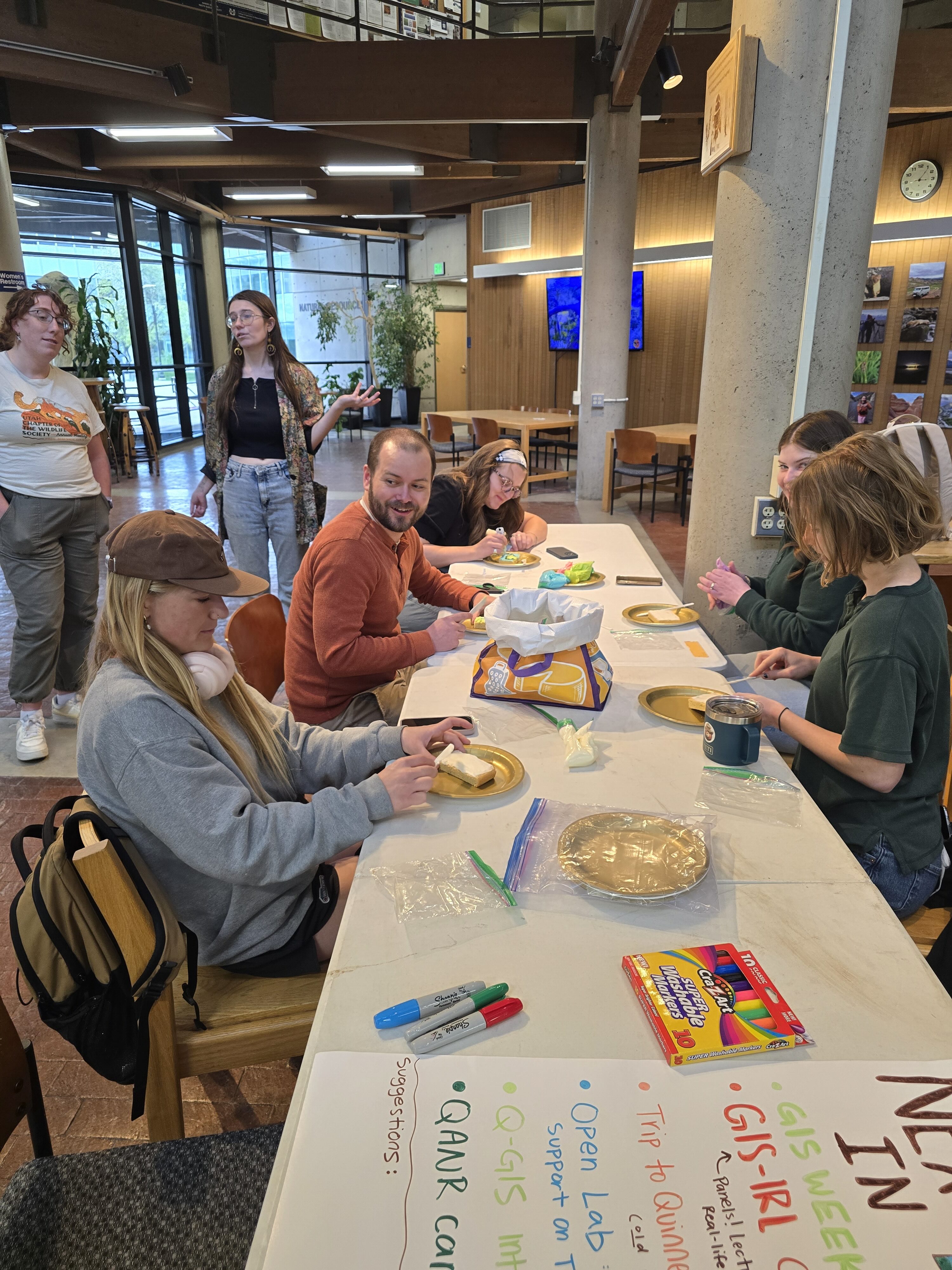
Mappy Button-Making
NR Atrium
Get creative with USU’s EcoArt group! Make your own buttons inspired by maps, places, and all things geospatial. Drop by, make something fun, and take home a little piece of GIS Day.
After 5:00 PM
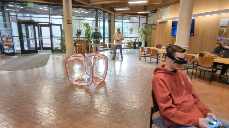
Drone Race
NR Atrium
Stick around for an evening of drone racing hosted by Terra, USU’s geospatial student group. Watch members of the Drone Worx aviation club navigate the course and experience a fast-paced, hands-on side of geospatial technology.
All Day
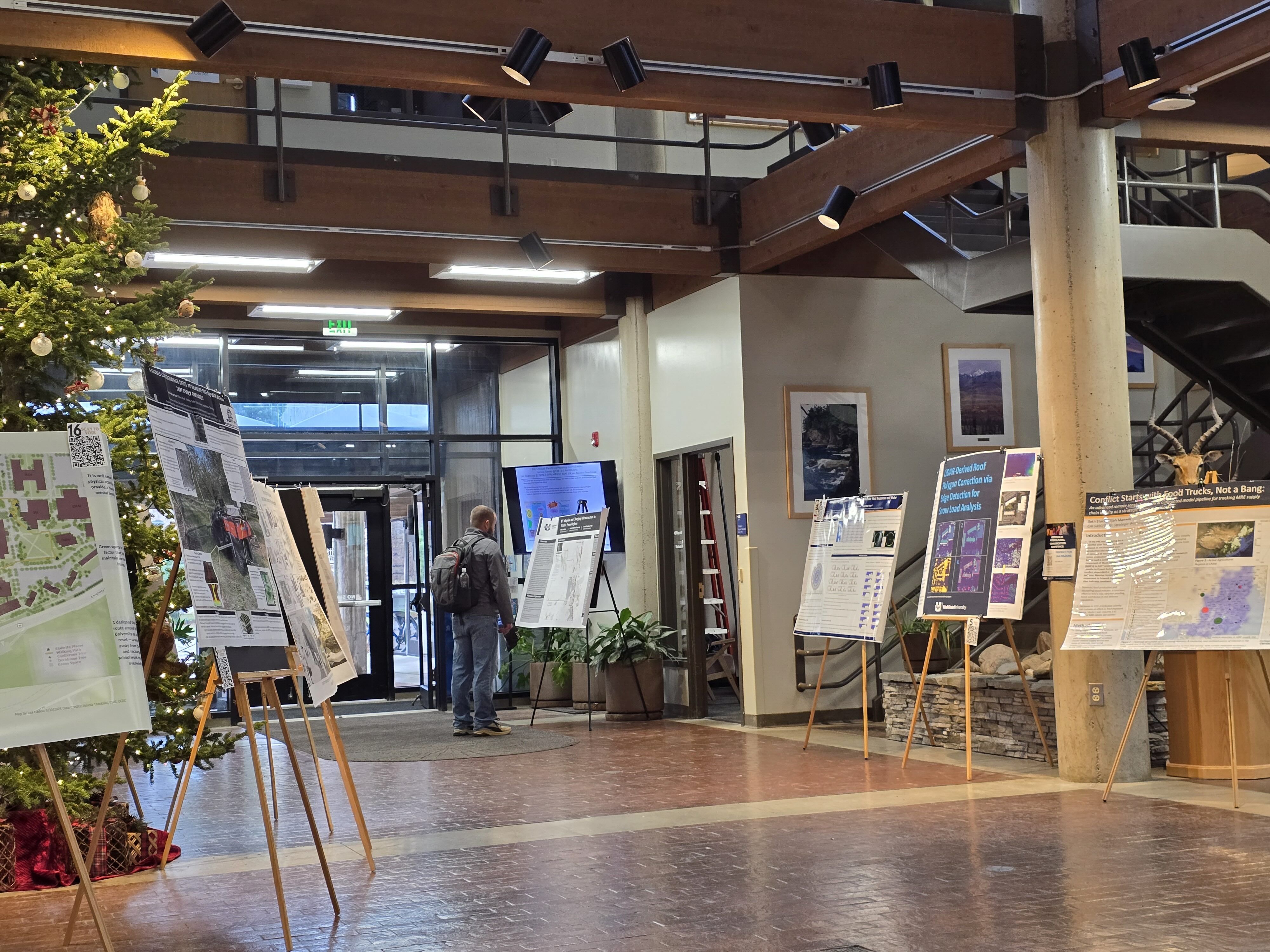
Geospatial Poster Exhibition
NR Atrium
Explore posters highlighting geospatial research, applications, and creative projects. Posters will be on display throughout the day, offering a chance to discover new ideas and see how students and researchers are putting geospatial tools to work.
12:00 PM
Lunch Presentation: Geospatial Perspectives
NR 102
Join a USU researcher for a lunchtime presentation on how geospatial approaches are being used in research and discovery.
2:00–3:00 PM
Geospatial Career Panel
QLIB 1st Floor
What can you do with geospatial skills? Members of USU’s Geospatial Advisory Board will share perspectives on careers, industry needs, professional pathways, and opportunities in the geospatial workforce. Bring your questions!
3:00–5:00 PM
Geospatial Poster Competition & Judging
NR Atrium
Student presenters showcase their work and share their ideas with judges and attendees. Come explore the projects, talk with presenters, and celebrate geospatial innovation at USU. Competition details and sign-up
Celebrate GIS Day with Us!
GIS Day is an opportunity to connect with the people, ideas, and technologies shaping the geospatial world. Come for one event or join us for all three days!
More details, including presentation topics, participating presenters, and event updates, will be announced soon.