Coordinate Systems
Before you go any further, you should read two blog articles written by Heather Smith at Esri.
- Geographic vs Projected Coordinate Systems (February 27, 2020)
- Coordinate Systems: What's the Difference? (March 03, 2020)
These are the most efficient, articulate, focused explanations of all things coordinate systems that I have ever read.
What is a coordinate system?
Why are coordinate systems so important to the work we do in GIS?
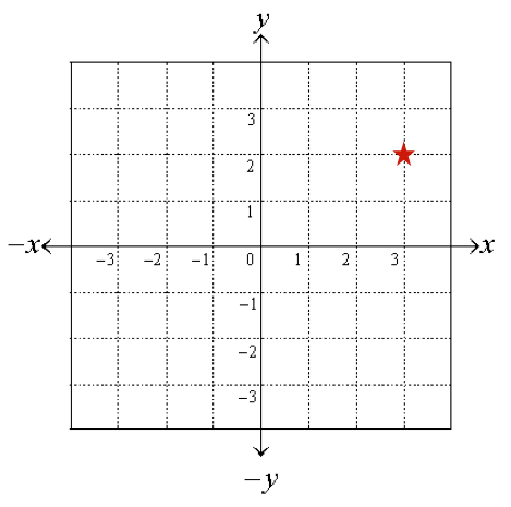
A coordinate system is a framework for defining or accurately measuring locations. Coordinate systems all have a specific origin from which to start measuring and a unit of measure. So, depending on the coordinate system, the values which describe a location will vary due to the origin’s location and the unit of measure. Locations are measured in units away from an origin in both the east/west and north/south direction. So if we overlay a grid on the ground, we could choose one grid intersection to become our origin and then say we are three feet west and two feet north of our origin.
Coordinate systems can be sphere based or they can be planar. In other words, they can be curved to model the earth’s curved surface (called a graticule) or flat like on a paper map (called a Cartesian grid).
There are hundreds of sphere based coordinate systems and thousands of planar or Cartesian coordinate systems. This is important to note because any given location on earth can be described by a pair of latitude/longitude angles or linear coordinates (planar). The values of the coordinate pair will vary depending on the coordinate system that is being employed to define the space

Many coordinate systems, but certainly not all, use the equator as the origin for the north/south measurements and the prime meridian as the origin for east/west measurements. When measuring on a curved surface we measure locations using angles from the earth’s center (Latitude and Longitude). When measuring on a flattened surface, we use linear or planar units of measure (feet or meters) to measure distance from these origins.
Why so many different coordinate systems? Different coordinate systems have been defined over time to make measurements on the Earth’s surface more accurate than if we were to treat the Earth as a perfect sphere.