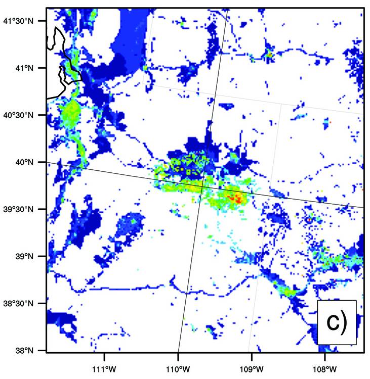
Winters in Utah's Uinta Basin can bring strong thermal inversions that trap pollutants near the ground, allowing ozone production to exceed EPA standards. Deploying an array of measurement instrumentation and models, we seek to understand the sources, chemistry, and distribution of air pollution in this unique region.
Measurements of Meteorology and Air Quality
We deploy an array of high-precision equipment—from portable solar-powered monitors to fully-instrumented mobile laboratories, to drone-mounted sensor arrays—to measure ozone, reactive nitrogen compounds, speciated volatile organic compounds, particulate matter, and other air quality and meteorological parameters. Data from our sites have contributed to many local, national, and international studies and have informed numerous reports, presentations, and papers. We maintain a website that displays real-time air quality data around the Uinta Basin, and we make many datasets available to the public. Learn about our drone-based air quality measurements, or view a comprehensive list of our measurement capabilities.
Computer Simulations of Air Quality
Current meteorological and chemical models used to simulate air quality are designed for urban summers. In partnership with federal and state agencies and academic institutions, we are developing a modeling framework specific to winter inversion episodes in northeastern Utah. This framework utilizes:
- The Weather Research and Forecasting (WRF) model.
- The Sparse Matrix Operator Kernel Emissions (SMOKE) model.
- The Comprehensive Air Quality Model with Extensions (CAMx).
- The Community Multiscale Air Quality Model (CMAQ).
We also work to understand and improve emissions inventories (i.e., databases of what pollutants are emitted from which sources) through emissions measurements and analysis.