Utah Air Monitoring Program
Made using data from the Utah Air Monitoring Program data archive, these tables report relevant pollutant measures as well as design values from each monitoring site. Design values (DV) are used by the Environmental Protection Agency to designate non-attainment areas and track progress towards the National Ambient Air Quality Standards. Calculated using a three-year average of various pollutant measures, these design values are compared with national regulatory values to determine attainment. These averages are used in comparison with Environmental Protection Agency regulatory values reported in table A.3.1. Tables are labeled by name and monitoring site ID.
A.3.1 Pollutant measures, units, and regulatory values
| Pollutant | Measure | Timescale | Units | Regulatory Value (RV) |
|---|---|---|---|---|
| Ozone | Fourth max | 8hr | parts per million | 0.07 |
| PM2.5 | 98th percentile | 24hr Max | micrograms per cubic meter | 35 |
| PM10 | Second max | 24hr | micrograms per cubic meter | 150 |
| CO | First max | 8hr | parts per million | 9 |
| SO2 | 98th percentile | 1hr Max | parts per billion | 75 |
| NOX | 98th percentile | 1hr Max | parts per billion | 100 |
Monitoring Sites
A.3.2 Portage (Box Elder) - 49-003-7001
| Pollutant | 2017 | 2018 | 2019 | 2020 | 2021 | 2022 | 2023 | DV |
|---|---|---|---|---|---|---|---|---|
| Ozone | 0.063 | 0.069 | 0.059 | 0.066 | 0.071 | 0.049 | 0.057 | 0.062 |
| PM2.5 | - | - | - | - | - | - | - | - |
| PM10 | - | - | - | - | - | - | - | - |
| CO | - | - | - | - | - | - | - | - |
| SO2 | - | - | - | - | - | - | - | - |
| NOX | - | 14 | 15 | 11 | 10 | 18 | 8.6 | 12.767 |
A.3.3 Smithfield - 49-005-0007
| Pollutant | 2017 | 2018 | 2019 | 2020 | 2021 | 2022 | 2023 | DV |
|---|---|---|---|---|---|---|---|---|
| Ozone | 0.063 | 0.069 | 0.062 | 0.068 | 0.068 | 0.063 | 0.067 | 0.066 |
| PM2.5 | 39.3 | 27.9 | 44 | 29.4 | 37.2 | 28.1 | 38 | 34.843 |
| PM10 | 80 | 67 | 66 | 260 | 135 | - | - | 121.6 |
| CO | - | - | - | - | - | - | - | - |
| SO2 | - | - | - | - | - | - | - | - |
| NOX | 37 | 30 | 33.1 | 30.9 | 31.3 | 33.3 | 37.3 | 33.271 |
A.3.4 Price - 49-007-1003
| Pollutant | 2017 | 2018 | 2019 | 2020 | 2021 | 2022 | 2023 | DV |
|---|---|---|---|---|---|---|---|---|
| Ozone | 0.066 | 0.073 | 0.068 | 0.067 | 0.071 | 0.06 | 0.059 | 0.066 |
| PM2.5 | - | - | - | - | - | 13.2 | 7.3 | 10.25 |
| PM10 | - | - | - | - | - | - | - | - |
| CO | - | - | - | - | - | - | - | - |
| SO2 | - | - | - | - | - | - | - | - |
| NOX | 22 | 14 | 16 | 18 | 16.9 | 15.6 | 16.7 | 17.029 |
A.3.5 Bountiful Viewmont - 49-011-0004
| Pollutant | 2017 | 2018 | 2019 | 2020 | 2021 | 2022 | 2023 | DV |
|---|---|---|---|---|---|---|---|---|
| Ozone | 0.078 | 0.08 | 0.073 | 0.08 | 0.082 | 0.075 | 0.073 | 0.077 |
| PM2.5 | 36 | 25.7 | 22.5 | 34 | 35.8 | 25.4 | 25.7 | 29.3 |
| PM10 | 48 | 48 | 29 | 42 | 77 | 53 | 60 | 51 |
| CO | - | - | - | - | - | - | - | - |
| SO2 | - | - | - | - | - | - | - | - |
| NOX | 46 | 45 | 46 | 44.1 | 46.7 | 49.7 | 50.7 | 46.886 |
A.3.6 Roosevelt - 49-013-0002
| Pollutant | 2017 | 2018 | 2019 | 2020 | 2021 | 2022 | 2023 | DV |
|---|---|---|---|---|---|---|---|---|
| Ozone | 0.078 | 0.071 | 0.087 | 0.063 | 0.072 | 0.066 | 0.093 | 0.076 |
| PM2.5 | 28.2 | 23.9 | 22.3 | 23.2 | 26.9 | 21.4 | 33.7 | 25.657 |
| PM10 | - | - | - | - | 21 | 103 | 67 | 63.667 |
| CO | - | - | - | - | - | - | - | - |
| SO2 | - | - | - | - | - | - | - | - |
| NOX | 26.3 | 22.8 | 27 | 26.8 | 26.1 | 40.3 | 51 | 31.471 |
A.3.7 Myton (Duchesne) - 49-013-7011
| Pollutant | 2017 | 2018 | 2019 | 2020 | 2021 | 2022 | 2023 | DV |
|---|---|---|---|---|---|---|---|---|
| Ozone | 0.081 | 0.065 | 0.079 | 0.064 | 0.069 | 0.066 | 0.094 | 0.074 |
| PM2.5 | - | - | - | - | - | - | - | - |
| PM10 | - | - | - | - | - | - | - | - |
| CO | - | - | - | - | - | - | - | - |
| SO2 | - | - | - | - | - | - | - | - |
| NOX | 28.1 | 14.4 | 18.5 | 18.2 | 24.4 | 18.9 | 31.6 | 22.014 |
A.3.8 Moab - 49-019-0007
| Pollutant | 2017 | 2018 | 2019 | 2020 | 2021 | 2022 | 2023 | DV |
|---|---|---|---|---|---|---|---|---|
| Ozone | - | - | - | - | - | - | 0.062 | 0.062 |
| PM2.5 | - | - | - | - | - | - | 13.2 | 13.2 |
| PM10 | - | - | - | - | - | - | - | - |
| CO | - | - | - | - | - | - | - | - |
| SO2 | - | - | - | - | - | - | - | - |
| NOX | - | - | - | - | - | - | 23.4 | 23.4 |
A.3.9 Enoch - 49-021-0005
| Pollutant | 2017 | 2018 | 2019 | 2020 | 2021 | 2022 | 2023 | DV |
|---|---|---|---|---|---|---|---|---|
| Ozone | - | 0.067 | 0.06 | 0.061 | 0.065 | 0.061 | 0.061 | 0.063 |
| PM2.5 | - | 13.7 | 11.3 | 16.5 | 20.9 | 12.4 | 9.9 | 14.117 |
| PM10 | - | - | - | - | - | - | - | - |
| CO | - | - | - | - | - | - | - | - |
| SO2 | - | - | - | - | - | - | - | - |
| NOX | - | 29 | 46.3 | 40.2 | 35.2 | 38.4 | 60.8 | 41.65 |
A.3.10 Copperview - 49-035-2005
| Pollutant | 2017 | 2018 | 2019 | 2020 | 2021 | 2022 | 2023 | DV |
|---|---|---|---|---|---|---|---|---|
| Ozone | - | 0.079 | 0.067 | 0.075 | 0.086 | 0.074 | 0.073 | 0.076 |
| PM2.5 | - | 31.6 | 28.7 | 31.2 | 44.4 | 28.9 | 29.1 | 32.317 |
| PM10 | - | - | - | - | - | - | - | - |
| CO | - | 1 | 1 | 1.4 | 1.1 | 1 | 1 | 1.083 |
| SO2 | - | 3 | 5 | 2.2 | 2.7 | 3 | 3.1 | 3.167 |
| NOX | - | 46 | 51.7 | 50.8 | 45.3 | 47.8 | 48.3 | 48.317 |
A.3.11 Hawthorne - 49-035-3006
| Pollutant | 2017 | 2018 | 2019 | 2020 | 2021 | 2022 | 2023 | DV |
|---|---|---|---|---|---|---|---|---|
| Ozone | 0.081 | 0.074 | 0.073 | 0.075 | 0.081 | 0.072 | 0.072 | 0.075 |
| PM2.5 | 35.7 | 26.2 | 26.4 | 27 | 36.9 | 27.4 | 30.3 | 29.986 |
| PM10 | 77 | 103 | 67 | 77 | 93 | 112 | 71 | 85.714 |
| CO | 1.7 | 1.6 | 1.2 | 1.2 | 1.1 | 1.1 | 0.8 | 1.243 |
| SO2 | 3.3 | 3.7 | 4.2 | 3.5 | 3.8 | 3.3 | 3.4 | 3.6 |
| NOX | 51 | 49 | 55.4 | 52.6 | 46.6 | 44.9 | 45.4 | 49.271 |
A.3.12 Rose Park - 49-035-3010
| Pollutant | 2017 | 2018 | 2019 | 2020 | 2021 | 2022 | 2023 | DV |
|---|---|---|---|---|---|---|---|---|
| Ozone | - | 0.08 | 0.071 | 0.08 | 0.079 | 0.075 | 0.07 | 0.076 |
| PM2.5 | 38.5 | 29.4 | 21.7 | 32 | 39.5 | 31.4 | 29.8 | 31.757 |
| PM10 | - | - | - | - | - | - | - | - |
| CO | - | 2.9 | 1.3 | 1.4 | 1.3 | 1.1 | 1.2 | 1.533 |
| SO2 | - | 5 | 6.6 | 4.8 | 6.5 | 5.2 | 4.9 | 5.5 |
| NOX | - | 47 | 46.8 | 50.4 | 48.6 | 49.8 | 49.4 | 48.667 |
A.3.13 Herriman - 49-035-3013
| Pollutant | 2017 | 2018 | 2019 | 2020 | 2021 | 2022 | 2023 | DV |
|---|---|---|---|---|---|---|---|---|
| Ozone | 0.078 | 0.078 | 0.07 | 0.073 | 0.087 | 0.071 | 0.068 | 0.075 |
| PM2.5 | 28.2 | 29 | 18.8 | 24.9 | 36.9 | 25.8 | 21.5 | 26.443 |
| PM10 | 87 | 88 | 64 | 106 | 91 | 152 | 78 | 95.143 |
| CO | - | - | - | - | - | - | - | - |
| SO2 | - | - | - | - | - | - | - | - |
| NOX | 43 | 39 | 40.1 | 30.3 | 31.9 | 37.4 | 35.4 | 36.729 |
A.3.14 Lake Park - 49-035-3014
| Pollutant | 2017 | 2018 | 2019 | 2020 | 2021 | 2022 | 2023 | DV |
|---|---|---|---|---|---|---|---|---|
| Ozone | - | - | - | 0.062 | 0.082 | 0.072 | 0.072 | 0.072 |
| PM2.5 | - | - | - | - | - | 29.6 | 26.5 | 28.05 |
| PM10 | - | - | - | - | - | - | - | - |
| CO | - | - | - | - | - | - | - | - |
| SO2 | - | - | - | - | - | - | - | - |
| NOX | - | - | - | 47.3 | 39 | 41.6 | 45.4 | 43.325 |
A.3.15 Utah Technical Center - 49-035-3015
| Pollutant | 2017 | 2018 | 2019 | 2020 | 2021 | 2022 | 2023 | DV |
|---|---|---|---|---|---|---|---|---|
| Ozone | - | - | 0.036 | 0.07 | 0.082 | 0.076 | 0.062 | 0.065 |
| PM2.5 | - | - | 18.8 | 30 | 41 | 34.4 | 29.8 | 30.8 |
| PM10 | - | - | 62 | 112 | 103 | 146 | 73 | 99.2 |
| CO | - | - | 1.5 | 1.3 | 1.5 | 1.3 | 1.6 | 1.44 |
| SO2 | - | - | 4.3 | 3.5 | 4.7 | 4.1 | 5.4 | 4.4 |
| NOX | - | - | 47.5 | 48.3 | 51.4 | 53.4 | 52.1 | 50.54 |
A.3.16 Inland Port (Salt Lake City) - 49-035-3016
| Pollutant | 2017 | 2018 | 2019 | 2020 | 2021 | 2022 | 2023 | DV |
|---|---|---|---|---|---|---|---|---|
| Ozone | - | - | - | - | 0.084 | 0.075 | 0.073 | 0.077 |
| PM2.5 | - | - | - | - | 42.6 | 29.9 | 24.8 | 32.433 |
| PM10 | - | - | - | - | - | - | - | - |
| CO | - | - | - | - | - | - | - | - |
| SO2 | - | - | - | - | - | - | - | - |
| NOX | - | - | - | - | 40.5 | 42.9 | 40.9 | 41.433 |
A.3.17 Near Road (Murray) - 49-035-4002
| Pollutant | 2017 | 2018 | 2019 | 2020 | 2021 | 2022 | 2023 | DV |
|---|---|---|---|---|---|---|---|---|
| Ozone | - | - | 0.064 | 0.072 | 0.083 | 0.072 | 0.076 | 0.073 |
| PM2.5 | - | - | 31 | 32.5 | 42.4 | 32 | 30.7 | 33.72 |
| PM10 | - | - | - | - | - | - | - | - |
| CO | - | - | 1.3 | 0.9 | 1.2 | 1.2 | 1.2 | 1.16 |
| SO2 | - | - | - | - | - | - | - | - |
| NOX | - | - | 53.1 | 48 | 47.1 | 52.7 | 56.7 | 51.52 |
A.3.18 Canyonlands National Park - 49-037-0101
| Pollutant | 2017 | 2018 | 2019 | 2020 | 2021 | 2022 | 2023 | DV |
|---|---|---|---|---|---|---|---|---|
| Ozone | 0.064 | 0.068 | 0.064 | 0.066 | 0.069 | 0.063 | 0.063 | 0.065 |
| PM2.5 | - | - | - | - | - | - | - | - |
| PM10 | - | - | - | - | - | - | - | - |
| CO | - | - | - | - | - | - | - | - |
| SO2 | - | - | - | - | - | - | - | - |
| NOX | - | - | - | - | - | - | - | - |
A.3.19 Erda - 49-045-0004
| Pollutant | 2017 | 2018 | 2019 | 2020 | 2021 | 2022 | 2023 | DV |
|---|---|---|---|---|---|---|---|---|
| Ozone | 0.077 | 0.074 | 0.065 | 0.07 | 0.075 | 0.07 | 0.068 | 0.071 |
| PM2.5 | 28.8 | 30.6 | 22.7 | 25.5 | 35.5 | 28.2 | 21.1 | 27.486 |
| PM10 | - | - | - | - | - | - | - | - |
| CO | - | - | - | - | - | - | - | - |
| SO2 | - | - | - | - | - | - | - | - |
| NOX | 24 | 25 | 24.4 | 20.5 | 18.1 | 21.7 | 19.3 | 21.857 |
A.3.20 Dinosaur National Monument - 49-047-1002
| Pollutant | 2017 | 2018 | 2019 | 2020 | 2021 | 2022 | 2023 | DV |
|---|---|---|---|---|---|---|---|---|
| Ozone | 0.074 | 0.067 | 0.07 | 0.063 | 0.068 | 0.063 | 0.098 | 0.072 |
| PM2.5 | - | - | - | - | - | - | - | - |
| PM10 | - | - | - | - | - | - | - | - |
| CO | - | - | - | - | - | - | - | - |
| SO2 | - | - | - | - | - | - | - | - |
| NOX | - | - | - | - | - | - | - | - |
A.3.21 Vernal - 49-047-1004
| Pollutant | 2017 | 2018 | 2019 | 2020 | 2021 | 2022 | 2023 | DV |
|---|---|---|---|---|---|---|---|---|
| Ozone | 0.068 | 0.069 | 0.065 | 0.063 | 0.068 | 0.063 | 0.078 | 0.068 |
| PM2.5 | 20.6 | 19.1 | 16.1 | 22.3 | 7.3 | 16.5 | 25.1 | 18.143 |
| PM10 | - | - | - | - | - | - | - | - |
| CO | - | - | - | - | - | - | - | - |
| SO2 | - | - | - | - | - | - | - | - |
| NOX | 32 | 21 | 27.7 | 34.1 | 26.2 | 29.8 | 37.6 | 29.771 |
A.3.22 Redwash (Uintah) - 49-047-2002
| Pollutant | 2017 | 2018 | 2019 | 2020 | 2021 | 2022 | 2023 | DV |
|---|---|---|---|---|---|---|---|---|
| Ozone | 0.076 | 0.068 | 0.074 | 0.066 | 0.071 | 0.062 | 0.081 | 0.071 |
| PM2.5 | - | - | - | - | - | - | - | - |
| PM10 | - | - | - | - | - | - | - | - |
| CO | - | - | - | - | - | - | - | - |
| SO2 | - | - | - | - | - | - | - | - |
| NOX | 13.6 | 13.3 | 17.3 | 13.3 | 13.5 | 13.6 | 23.3 | 15.414 |
A.3.23 Ouray (Uintah) - 49-047-2003
| Pollutant | 2017 | 2018 | 2019 | 2020 | 2021 | 2022 | 2023 | DV |
|---|---|---|---|---|---|---|---|---|
| Ozone | 0.103 | 0.067 | 0.098 | 0.065 | 0.072 | 0.064 | 0.091 | 0.08 |
| PM2.5 | - | - | - | - | - | - | - | - |
| PM10 | - | - | - | - | - | - | - | - |
| CO | - | - | - | - | - | - | - | - |
| SO2 | - | - | - | - | - | - | - | - |
| NOX | 15.6 | 11.6 | 16 | 14.4 | 10.3 | 12.9 | 20.8 | 14.514 |
A.3.24 Whiterocks (Uintah) - 49-047-7022
| Pollutant | 2017 | 2018 | 2019 | 2020 | 2021 | 2022 | 2023 | DV |
|---|---|---|---|---|---|---|---|---|
| Ozone | 0.066 | 0.069 | 0.067 | 0.065 | 0.068 | 0.062 | 0.088 | 0.069 |
| PM2.5 | - | - | - | - | - | - | - | - |
| PM10 | - | - | - | - | - | - | - | - |
| CO | - | - | - | - | - | - | - | - |
| SO2 | - | - | - | - | - | - | - | - |
| NOX | 13.8 | 20.5 | 8.3 | 7.6 | 7.3 | 5.8 | 11.4 | 10.671 |
A.3.25 Lindon - 49-049-4001
| Pollutant | 2017 | 2018 | 2019 | 2020 | 2021 | 2022 | 2023 | DV |
|---|---|---|---|---|---|---|---|---|
| Ozone | - | 0.079 | 0.062 | 0.068 | 0.077 | 0.074 | 0.066 | 0.071 |
| PM2.5 | 27.6 | 21.6 | 17.2 | 26.2 | 35.9 | 23.1 | 20.2 | 24.543 |
| PM10 | 82 | 85 | 53 | 90 | 100 | 82 | 61 | 79 |
| CO | - | 0.5 | 1.1 | 0.9 | 1.3 | 0.8 | 1 | 0.933 |
| SO2 | - | - | - | - | - | - | - | - |
| NOX | - | 41 | 40.8 | 43.1 | 42.2 | 40.7 | 38.6 | 41.067 |
A.3.26 Spanish Fork - 49-049-5010
| Pollutant | 2017 | 2018 | 2019 | 2020 | 2021 | 2022 | 2023 | DV |
|---|---|---|---|---|---|---|---|---|
| Ozone | 0.072 | 0.073 | 0.066 | 0.07 | 0.076 | 0.066 | 0.065 | 0.07 |
| PM2.5 | 27.6 | 50.7 | 16.1 | 25.4 | 27.8 | 24.9 | 20.6 | 27.586 |
| PM10 | - | - | - | - | - | - | - | - |
| CO | - | - | - | - | - | - | - | - |
| SO2 | - | - | - | - | - | - | - | - |
| NOX | - | 39 | 41.9 | 38.5 | 34.6 | 38.2 | 37 | 38.2 |
A.3.27 Hurricane - 49-053-0007
| Pollutant | 2017 | 2018 | 2019 | 2020 | 2021 | 2022 | 2023 | DV |
|---|---|---|---|---|---|---|---|---|
| Ozone | 0.067 | 0.069 | 0.064 | 0.065 | 0.067 | 0.064 | 0.063 | 0.066 |
| PM2.5 | 13.5 | 17.9 | 10.9 | 16.6 | 18.5 | 13.1 | 9.4 | 14.271 |
| PM10 | - | - | - | - | - | - | - | - |
| CO | - | - | - | - | - | - | - | - |
| SO2 | - | - | - | - | - | - | - | - |
| NOX | 26 | 27 | 25.8 | 30 | 24.9 | 29.8 | 28.5 | 27.429 |
A.3.28 Zion National Park - 49-053-0130
| Pollutant | 2017 | 2018 | 2019 | 2020 | 2021 | 2022 | 2023 | DV |
|---|---|---|---|---|---|---|---|---|
| Ozone | 0.067 | 0.069 | 0.063 | 0.067 | 0.067 | 0.064 | 0.064 | 0.066 |
| PM2.5 | - | - | - | - | - | - | - | - |
| PM10 | - | - | - | - | - | - | - | - |
| CO | - | - | - | - | - | - | - | - |
| SO2 | - | - | - | - | - | - | - | - |
| NOX | - | - | - | - | - | - | - | - |
A.3.29 Harrisville - 49-057-1003
| Pollutant | 2017 | 2018 | 2019 | 2020 | 2021 | 2022 | 2023 | DV |
|---|---|---|---|---|---|---|---|---|
| Ozone | 0.073 | 0.077 | 0.063 | 0.074 | 0.077 | 0.071 | 0.07 | 0.072 |
| PM2.5 | - | - | 26.8 | 25.6 | 32.4 | 27.1 | 19.6 | 26.3 |
| PM10 | - | - | 44 | 77 | 86 | 126 | 69 | 80.4 |
| CO | - | - | 0.5 | 0.6 | 1 | 0.8 | 0.8 | 0.74 |
| SO2 | - | - | - | - | - | - | - | - |
| NOX | - | 37 | 44.4 | 47 | 41.7 | 41.2 | 44.1 | 42.567 |
References
- Utah Deivion of Air Quality. (2024). Utah Air Monitoring Program. [Data set]. Utah Department of Environmental Quality. https://air.utah.gov/dataarchive/archo3.htm
- Utah Division of Air Quality. (2024). Statewide Emissions Inventories. (Triennial Statewide Emission Inventories). [Data set]. Utah Department of Environmental Quality. https://deq.utah.gov/air-quality/statewide-emissions-inventories
- Utah Division of Air Quality. (2024). Utah Air Monitoring Program. (All Criteria Pollutant Yearly Quicklook Summary Reports). [Data set]. Utah Department of Environmental Quality. https://air.utah.gov/dataarchive/archall.htm
Gallery
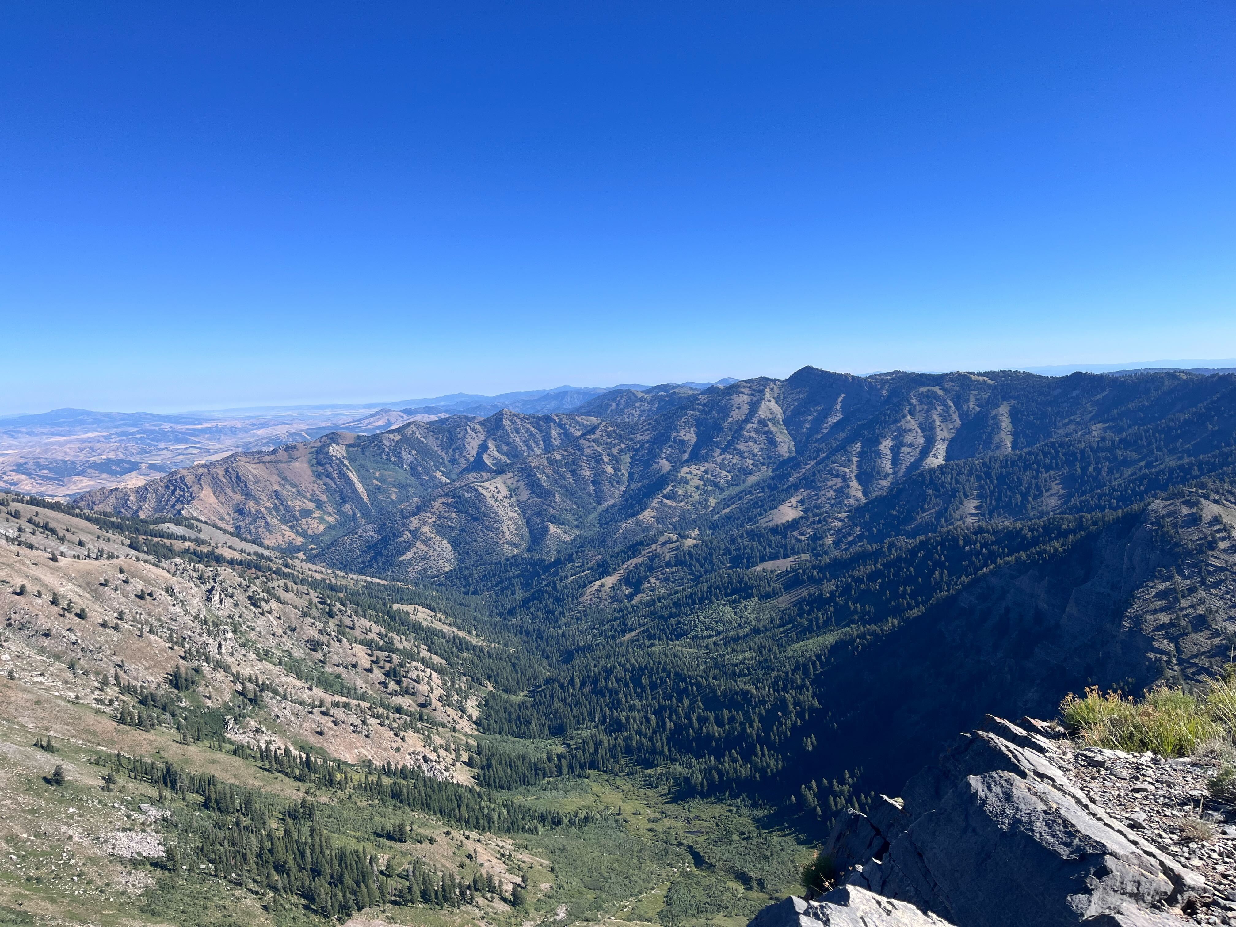
BEAR RIVER MOUNTAIN RANGE FROM NAOMI PEAK | KORI KURTZEBORN
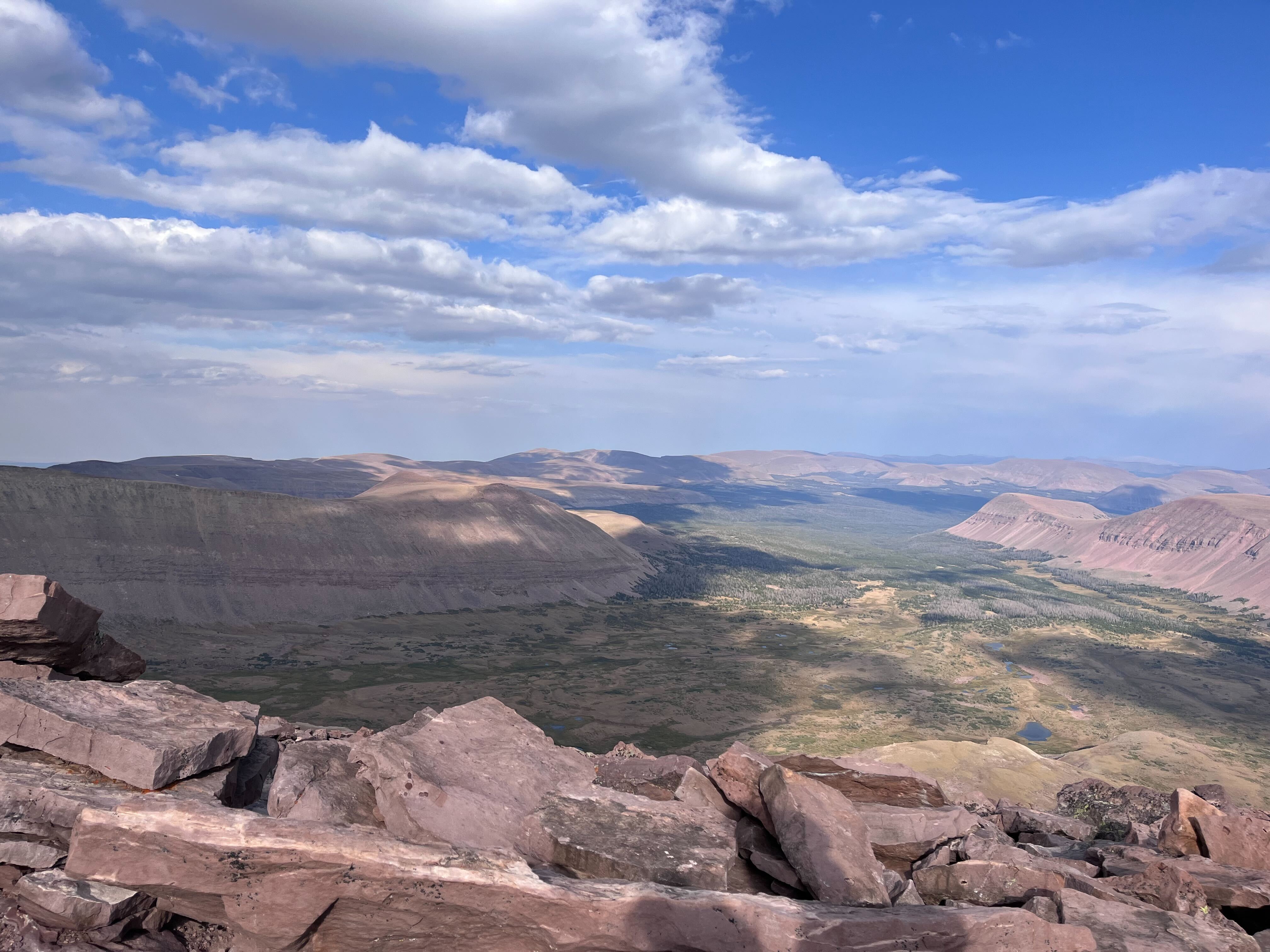
VIEW FROM KINGS PEAK, HIGH UINTAS WILDERNESS | KORI KURTZEBORN
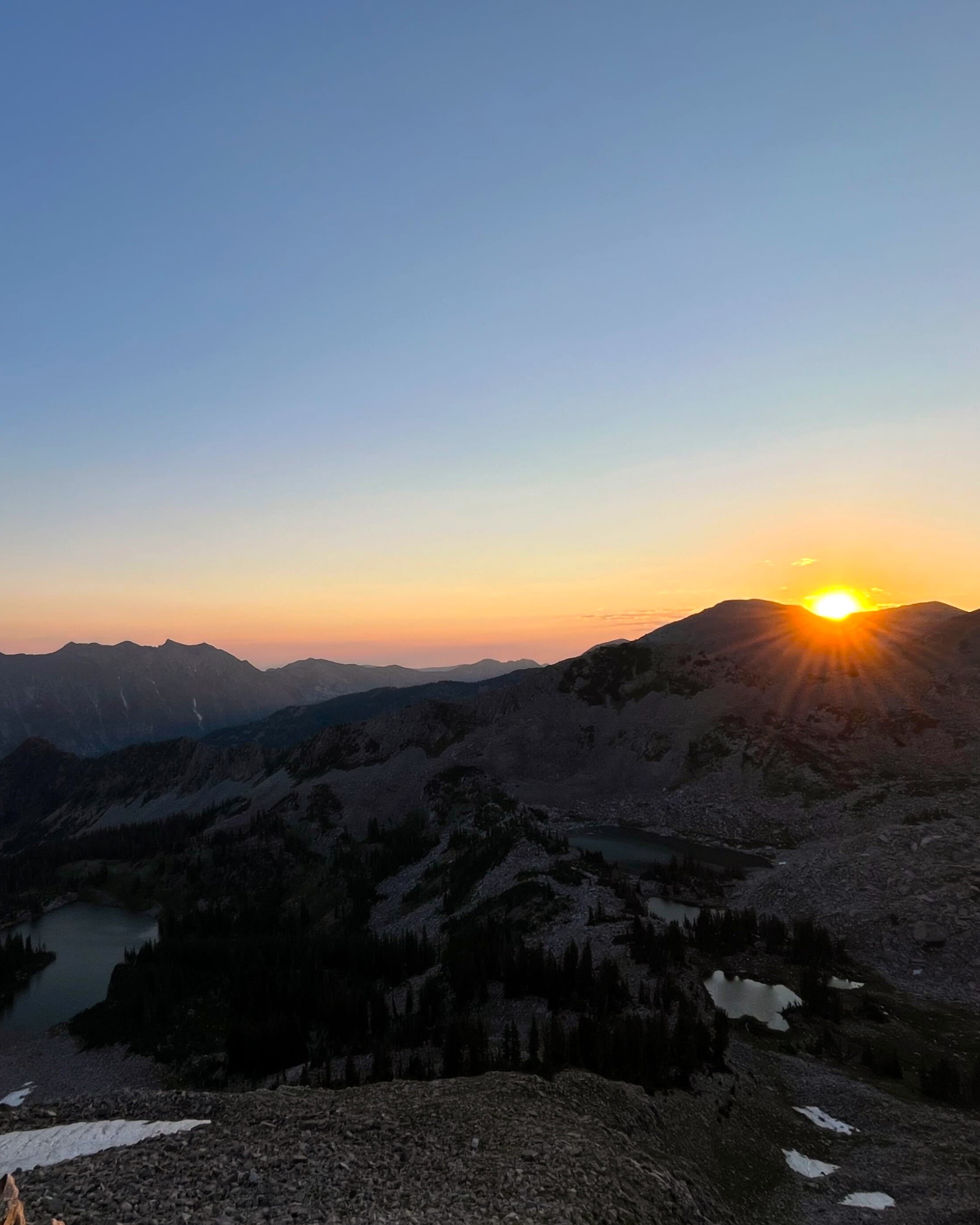
APPROACHING PHEIFFERHORN PEAK AT SUNRISE | KORI KURTZEBORN