Joint Study Details Surface Water Movement, Measurement Need Throughout Sevier River Basin
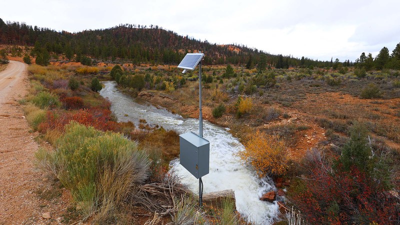
Tropic Reservoir Outlet in Garfield County, Utah, as seen in October 2025 (Photo credit: USU/Hyrum Tennant).
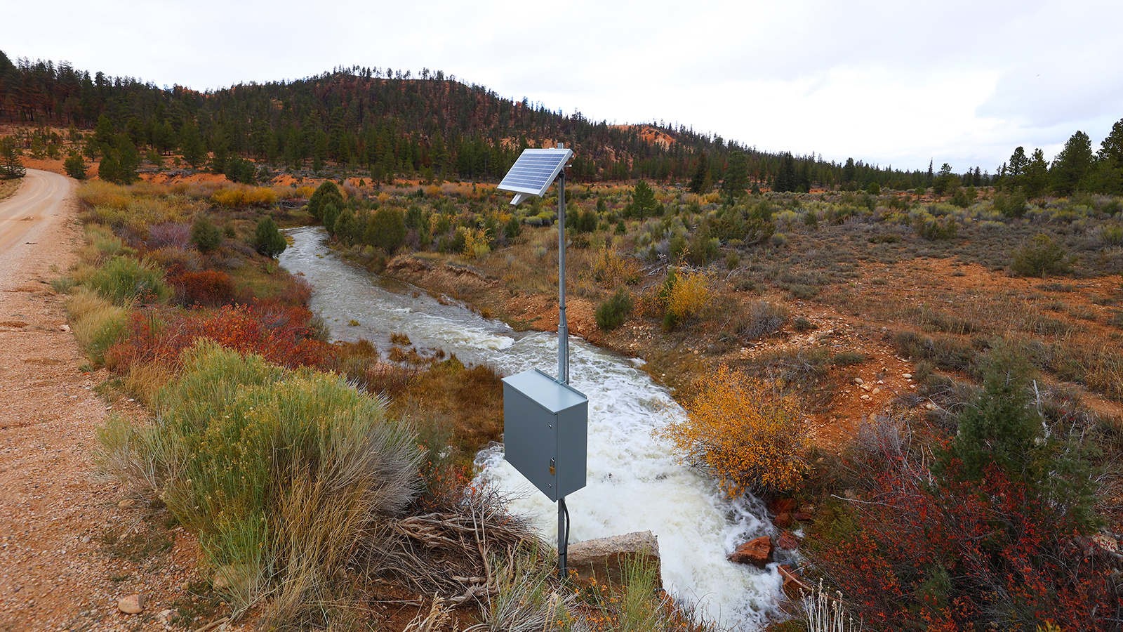
Researchers at Utah State University recently completed a gap analysis report on water measurement infrastructure in Utah’s Sevier River Basin in collaboration with the Utah Division of Water Rights.
The report, titled “Measurement Infrastructure Gap Analysis in Utah’s Sevier River Basin,” details existing gage status and identifies new locations where additional gaging would benefit the basin.
As Utah continues to face long-term drought conditions, accurate and timely water data has become increasingly important for water management and planning. Reliable measurement infrastructure helps water users and state agencies monitor streamflow, manage diversions, administer water rights, and respond to changes in water availability.
Coordinating with water users and local experts, the USU research team compiled and documented information across 30 rivers, creeks and canals central to distribution in the Sevier River Basin.
“Stakeholders identified 73 locations where new measurement stations were needed and recommended infrastructure updates at 55 existing stations,” USU Research Engineer Mia Campbell said. “These are locations where improved measurement, will help local water users and managers.”
“We hope highlighting the water measurement needs of users in the Sevier River Basin leads to additional gages. We’ve seen the impact new investment in water infrastructure has made in other basins,” added Hyrum Tennant, referencing similar gap analyses published by the Division of Water Rights for the Great Salt Lake and Colorado River basins. “This report represents continued statewide efforts to improve water measurement, distribution and transparency.”
Beyond documenting the current conditions of measurement infrastructure in the basin and gathering stakeholder recommendations, the USU team conducted an independent ranking analysis to identify areas where investment in measurement gaps may have the greatest impact based on certain management goals. The purposed rankings will be subject to the emerging needs of the respective distribution systems identified by stakeholders in the Sevier River Basin.
“This analysis gives us a clearer picture of where investments in water measurement can provide the greatest benefit,” said Deputy State Engineer Blake Bingham. “Together with input from local water users and distribution officials, these findings will help us prioritize projects that support more accurate and transparent water-rights administration throughout the Sevier River Basin.”
The report and accompanying GIS resources will support future planning efforts, infrastructure investments, and ongoing collaboration between state agencies and water users throughout the basin.
The full report and resources are now published and available on HydroShare.
CONTACT
Audra Sorensen
Public Information Officer
Utah Division of Water Rights
audrasorensen@utah.gov
Bethany Neilson
Director
Utah Water Research Laboratory
435-797-7369
bethany.neilson@usu.edu
TOPICS
Research 1181stories Water 348stories Ecology 195stories Wildlife 163stories Great Salt Lake 52storiesSHARE
Comments and questions regarding this article may be directed to the contact person listed on this page.