New Interactive Storymap Lends Data-Driven Narrative to Great Salt Lake Sentinel Landscape
A new digital platform from Janet Quinney Lawson Institute for Land, Water and Air makes the complex Great Salt Lake Sentinel Landscape initiative accessible—combining data visualizations, maps, and real-world examples to show how national defense and conservation are inseparably linked.

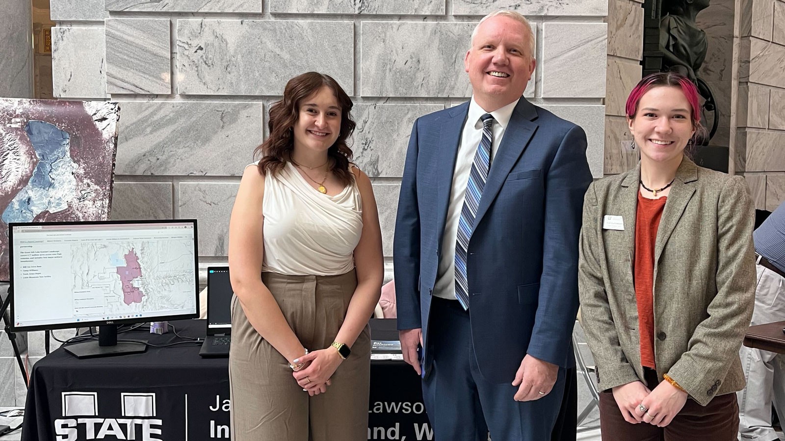
The Janet Quinney Lawson Institute for Land, Water and Air at Utah State University has released an interactive storymap that translates the Great Salt Lake Sentinel Landscape initiative into a clear, data-driven narrative. The intent of this resource is to provide clarity and understanding of this complex and impactful partnership between federal and state agencies and organizations
The Great Salt Lake Sentinel Landscape spans 2.77 million acres and brings together the U.S. Departments of War, Agriculture and Interior alongside state and local partners. With such a large scope and numerous partners, it can be challenging to grasp the goals of the partnership and the funding opportunities provided. The storymap closes that gap, using interactive maps and visualizations to show exactly how declining lake levels, military readiness and regional ecosystems intersect.
“The Great Salt Lake Sentinel Landscape unifies the conservation and defense work already underway in Utah — and bridges the gaps where collaboration is needed most,” said Marisa Weinberg, Great Sale Lake Sentinel Landscape coordinator. “This framework is entirely unprecedented in our state. Bringing together military and conservation interests at this scale holds tremendous potential to protect both national security and our essential natural resources.”
Shoreline maps document how receding water creates dust events that reduce visibility for Hill Air Force Base flight operations. Population growth maps show urban encroachment on military installations. Wildlife migration corridors, air quality monitoring stations and historic wildfire footprints are all mapped within the Great Salt Lake Sentinel Landscape’s boundary.
“We’re interested in the Sentinel Landscape program for its ecological impacts. The uniqueness
of the partnership is its acknowledgement of the intersection between national defense and ecology,” said Anna McEntire, managing director of ILWA. “The connections are concrete and consequential.”
Designated in 2024, the Great Salt Lake Sentinel Landscape addresses four interconnected goals:
- Sustaining military and community resilience by mitigating incompatible development.
- Enhancing water resources to protect the Great Salt Lake ecosystem.
- Mitigating catastrophic wildfire through fuel management and collaboration.
- Protecting crucial wildlife habitat that supports compatible military land use.
The storymap also highlights progress already underway: four new PM10 air quality monitors have been deployed near the lake, and multiple ongoing projects are supporting both military operations and surrounding communities.
The storymap is publicly accessible at https://tinyurl.com/gslslstorymap.
CONTACT
Anna McEntire
Managing Director
Janet Quinney Lawson Institute for Land, Water, and Air
(435) 881-1323
anna.mcentire@usu.edu
SHARE
Comments and questions regarding this article may be directed to the contact person listed on this page.