View From Above: Drones Help Monitor Recreation Impacts in National Parks
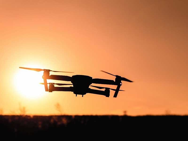
Traditional methods for monitoring recreation impacts like trail conditions and trash are time and resource intensive. But inexpensive drones are now capable of collecting high-resolution imagery, which may make things easier for land managers. Photo credit: Jeshoots.com from Pexels.
Back in the day, land managers kept tabs on an area by setting out on foot, traversing networks of trails and observing conditions. If spring flooding washed away a campsite, or if meandering hikers flattened a new trail through a soft meadow, it might be months before word got back to headquarters, and even longer before action could be taken for mitigation or repairs.
In the past decade, increasing numbers of visitors to parks and protected areas have both stretched management resources and exacerbated human-caused problems.
“Traditional methods of collecting data are time consuming,” said Christopher Monz, faculty fellow with Utah State University’s Institute of Outdoor Recreation and Tourism. “But drones are changing the way managers keep tabs on the vast network of trails, campgrounds and recreation sites for which they are responsible.”
Recently published work by Monz and Francisco Javier Ancin-Murguzur (UiT, The Arctic University of Norway) explores how drones can be used to monitor recreation impacts in protected areas. Researchers tested the technology in an area where new tourist facilities were being established in a national park in Norway. Their hope was to use the information collected as a high-quality baseline to identify changes to the resources over time and facilitate long-term measurements.
“Monitoring trails and ecological conditions usually requires intensive sampling by field workers, who directly measure trail conditions like depth, width, trampling, the distribution of trash and other visitor impacts,” said Monz. “These kinds of qualities are important to manage, not only for conserving native species and wildlife, but also for providing visitors with a high-quality experience.”
While traditional methods for monitoring are very precise, they rely on highly skilled workers, careful planning, a lot of time and financial resources. But inexpensive drones are now capable of collecting high-resolution imagery – which may make things easier for land managers. Many researchers are already using this kind of technology to gather relevant information for wildlife detection, vegetation mapping, land-cover classification, species reintroduction and forest monitoring. The question researchers posed was whether drones could provide accurate information on trails and other human-caused conditions from the air.
The team used drones to measure trail conditions, then assessed the accuracy of the drone data by comparing it with intensive field measurements taken on the ground. They found that even low-cost drones were effective at mapping areas with the kinds of detail managers require for making informed decisions. Drone-derived measurements were comparable to traditional measurements for width and depth of trails within a few centimeters. They were able to use the data to create high-resolution vegetation maps that could be used as a baseline for monitoring future impacts.
“You don’t need really expensive or specialized equipment to make this work effectively,” said Monz. “Even low-cost drones can be used to get good data on visitor impacts, and to help managers cut time spent in the field.”
CONTACT
Chris Monz
Faculty Fellow
Institute of Outdoor Recreation and Tourism
435-797-2773
chris.monz@usu.edu
Traci Hillyard
Administrative Assistant
College of Science
435-797-2478
traci.hillyard@usu.edu
ADDITIONAL RESOURCES
TOPICS
Environment 263stories Land Management 123stories Wildland 97stories Aerospace 79stories Recreation 69stories Solutions 63storiesComments and questions regarding this article may be directed to the contact person listed on this page.