AggieAir Partners with USU Facilities to Discover Energy Loss on USU Campus
By Brittanie Carter |

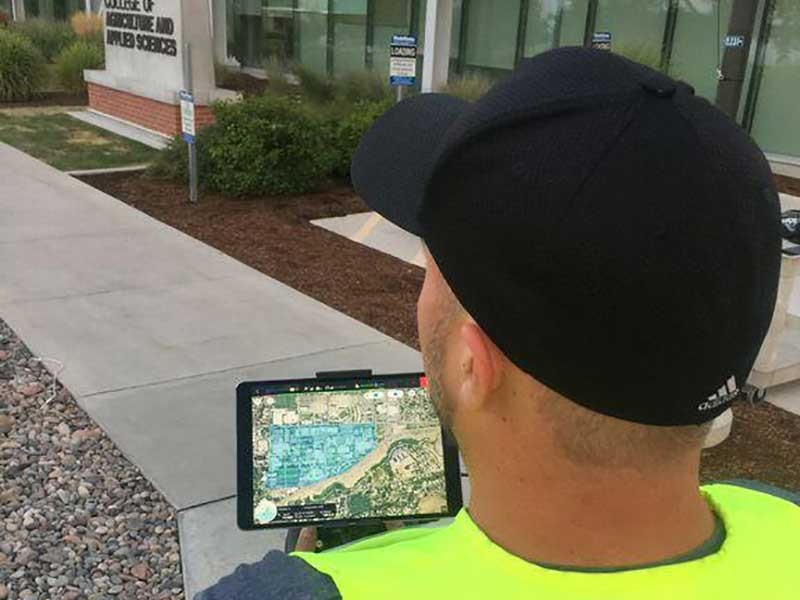
DEM analysis of the USU campus.
AggieAirTM, a Service Center of the Utah Water Research Lab specializing in the development and use of small unmanned aerial systems for collecting scientific imagery and data, recently worked with Utah State University Facilities to help them identify energy waste on campus.
With AggieAir’s data, Facilities will be able to locate buildings that may be experiencing above average losses of hot or cold air, and come up with ways to prevent or decrease them.
“We hope to identify electric heat tape or snowmelt systems that may be running when they shouldn’t, loses through leaking building envelopes and any other numbers of possible issues,” said Zachary Cook, utilities energy manager of USU Facilities. “As these problems are fixed, it will reduce energy costs and be an essential step towards achieving the university's sustainability goals.”
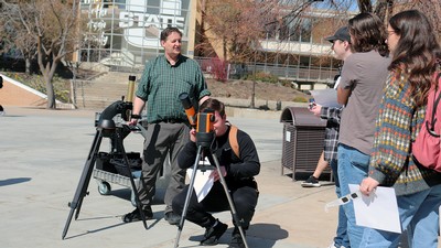
Using their smallest UAV, the Matrice 600 Pro, the AggieAir team collected thermal imagery that will help map hot and cold areas associated with buildings, equipment, and utility distribution on the USU campus. Matrice 600 Pro was flown twice, once on a Friday morning, and once on a Saturday at solar noon. Together, the two flights provide all the information needed to asses the situation. Thermal imagery is more accurate in the morning because contrast between hot and cold temperatures is greater. However, optical contrast is low in the early morning, so the flight at noon gives the clearest imagery of the campus buildings. The team then overlaps the imagery from both flights to create the most accurate thermal map of campus.
Although USU Facilities has done heat mapping in the past, previous efforts used a small manned aircraft that had to be flown at a higher altitude and came with a bigger price tag. With AggieAir, gathering data like this is now faster and much less expensive. The thermal imaging gained from Matrice 600 Pro is also much higher in quality and clarity than data gathered in the past, giving Facilities greater knowledge of exact locations that may be losing heat.

Hunter Buxton piloting a UAV.
WRITER
Brittanie Carter
Public Relations
Utah Water Research Lab
brittanie.carter@usu.edu
TOPICS
Sustainability 145stories Energy 102stories Innovation 90storiesComments and questions regarding this article may be directed to the contact person listed on this page.